McCurtain County Wall Maps
Choose from the largest selection of
quality McCurtain County Wall Maps.
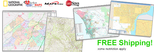
The McCurtain County, OK Wall Maps selected by MapSales.com represent the
finest McCurtain County, OK Wall Maps from our leading publishers.
They are beautiful displays for your office, conference room and class room. McCurtain County, OK Wall Maps are
perfect in your home as well. Each McCurtain County, OK Wall Map is full of information and
looks great in almost any room!
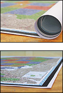
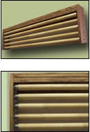
Finishing Options:
We Have Wall Maps From 36x48 inches to 9x12 feet...and Larger!


Shop for Your County Wall Maps...
Order Online or Call Us Now!


McCurtain County, OK Wall Maps - Select Your Map:
Most Popular McCurtain County, OK Wall Maps
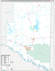
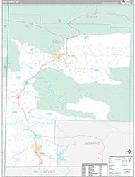
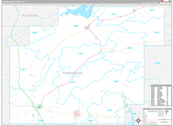
Attractive DisplayLooks great, with full map
detail.
detail.
Great presentation!Easy to use, basic multi-
colored map!
colored map!
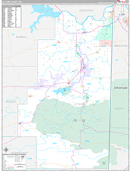
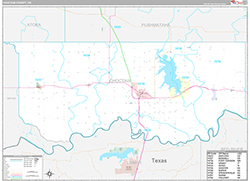
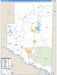
Excellent Planning ToolEasy to read. Add your
territories and locations.
territories and locations.
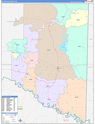
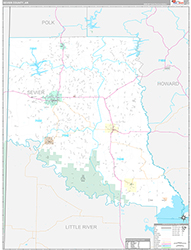
Traditional Colored MapEach geographic area has
its own color.
its own color.
Additional McCurtain County, OK Wall Maps
* This is a representation
of a typical county
of a typical county
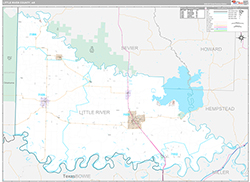
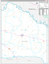
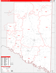
Great Reference ToolDetails, including ZIP Codes, are included.
* This is a representation
of a typical county
of a typical county

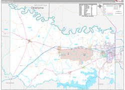
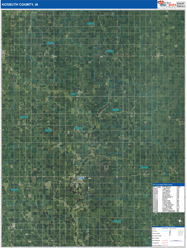
Detailed Planning ToolBeautiful aerial image with
details included.
details included.
* This is a representation
of a typical county
of a typical county
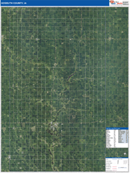
Bird's Eye ViewDisplay information without distractions.
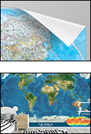
Additional Wall Maps