USA Wall Maps in Our Lives

understanding to meetings.
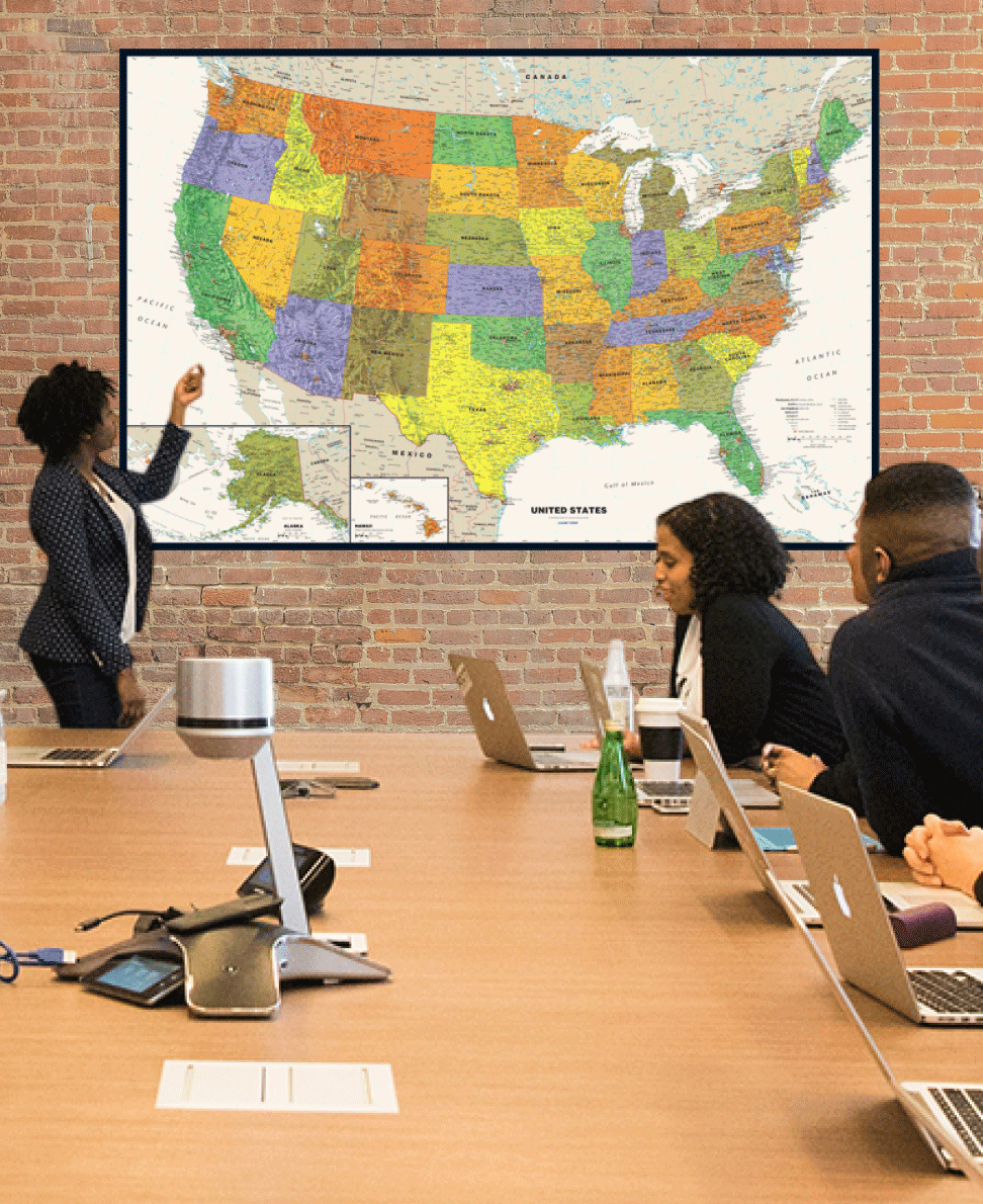
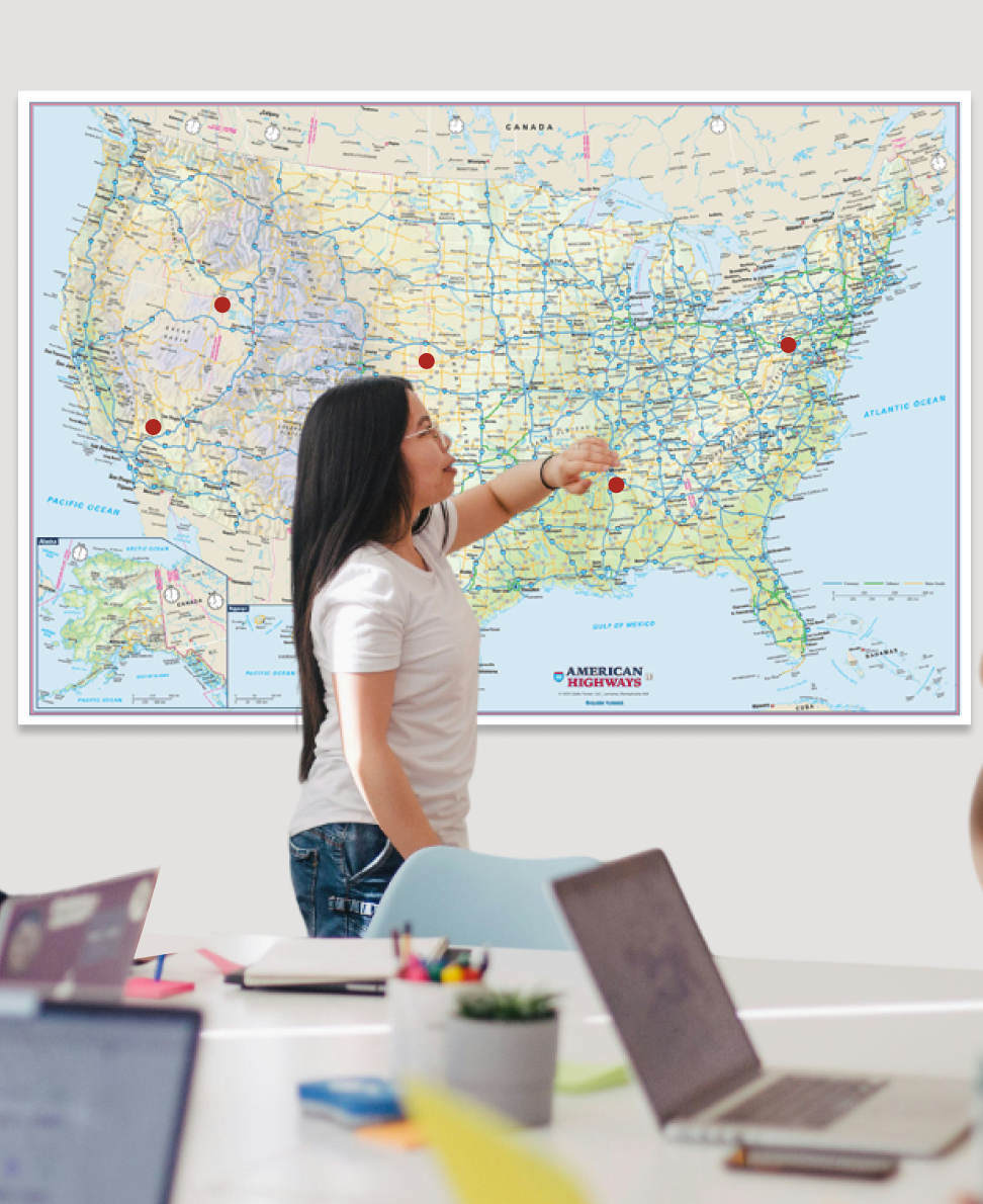
- Immediate Geographical Point of Reference Whether you are talking about regions, logistics, or market trends, everyone at the conference can quickly orient themselves on the map.
- Encourages Communication You can point, trace, draw, and visually explain ideas directly on the wall map.
- Clean Professional Look Aside of practical business planning uses, a US Wall Map provides great visual interest to a conference room.
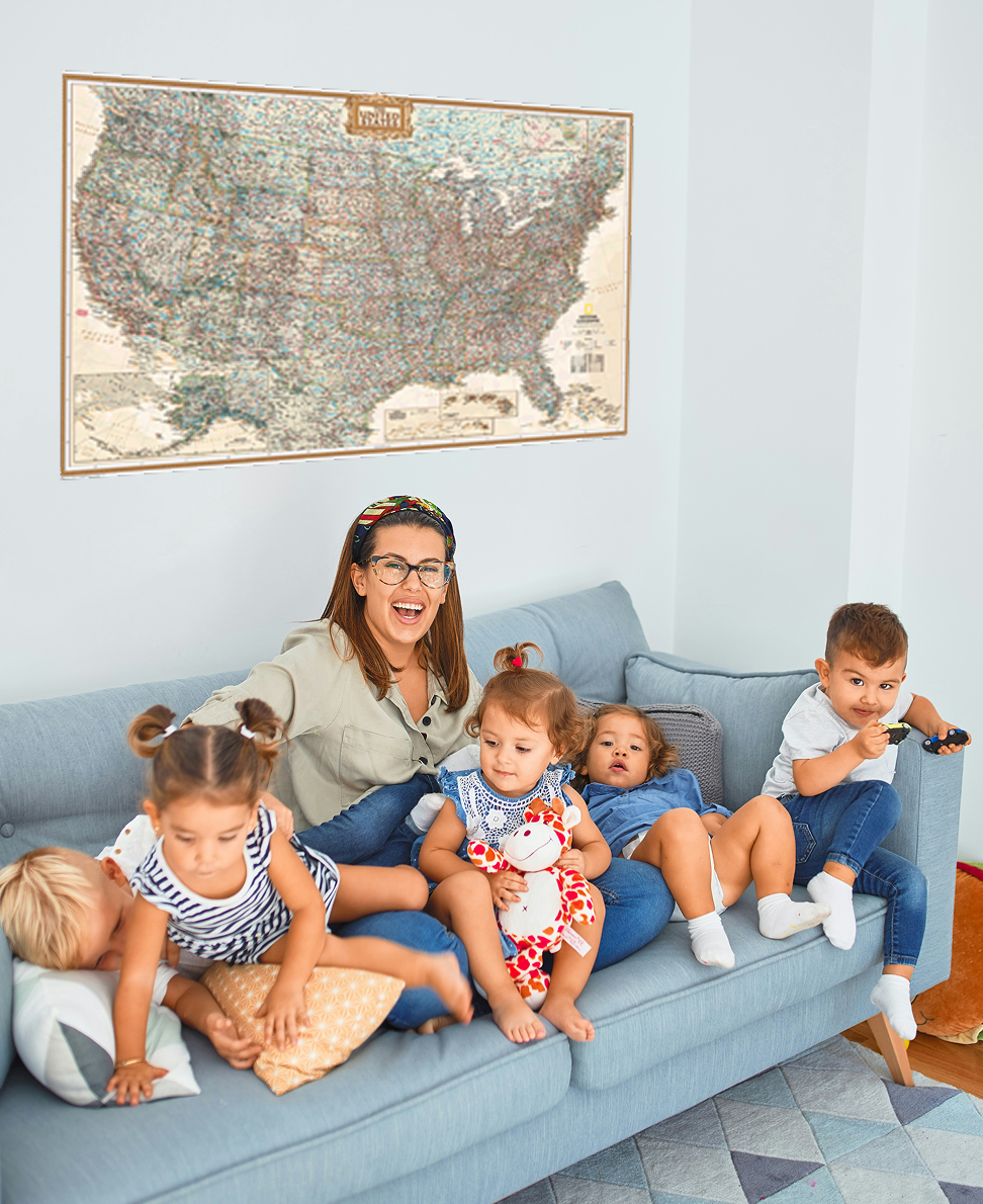
- Encourages Curiosity and Learning Turn everyday moments into opportunities to learn geography, culture and travel awareness.
- Visualize Travel and Shared Goals Track places where you've traveled to, and plan trips to your next dream location.
- Supports Learning Regular exposure to states and regions on the maps help kids build spatial awareness.

- Turn geography into everyday play. Don’t just treat geography as a school subject. Kids point, explore, and ask questions naturally while they’re already in a playful mindset.
- Build early spatial awareness Seeing the shape of the U.S. daily helps children understand size, distance, and direction over time—skills that develop gradually through visual repetition.
- Supports early learning without pressure Kids absorb state names, regions, and landmarks passively. It feels like discovery, not memorization, which makes learning more effective at a young age.
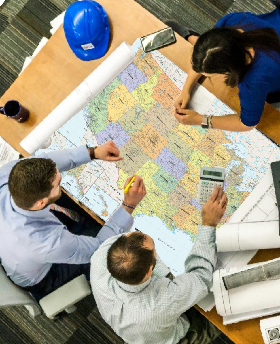
- Makes geography instantly visible and shared Wall maps gives everyone the same geographic context at a glance. It reduces confusion and keeps discussions grounded in a shared visual reference.
- Improves sales and territory planning discussions Teams can quickly visualize regions, territories, distribution networks, or customer clusters.
- Supports clearer strategic thinking Big-picture planning becomes easier when teams can physically see market coverage, expansion opportunities, or regional gaps laid out in front of them.
the front of the classroom...
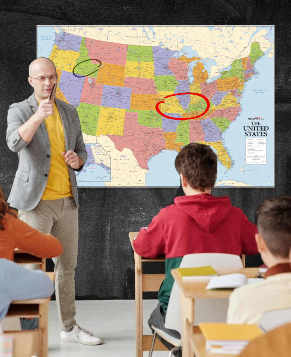
- Builds foundational geography skills Students develop familiarity with states, regions, capitals, and borders simply by seeing them regularly.
- Helps connect subjects together A wall map supports cross-curricular learning—linking geography with history, literature, science (climate zones), and social studies in a visual way.
- Provides a consistent reference point The classroom map becomes a shared, always-available reference during lessons and discussions.
You’ll find answers to many common questions below. If you still need help, feel free to contact us - our team will be happy with assist.
mapsales.com offers wall maps from 2x3 feet to 9x12 feet and larger, including US Wall Maps. Map Murals cover an entire wall.
Laminated, archival paper, railed, mounted, magnetic, spring rollers and more.
Yes! We have thousands of options to custom design the US Wall Map exactly the way you want it. Contact us and speak with a Map Specialist. They will make sure you get the custom wall map tailored to your needs.
Yes, all our Wall Maps come laminated, making them compatible with dry-erase markers without worries of scratches or fingerprints.
Receive your maps as fast as next day! Most maps are delivered in 3-5 days. Expedited Orders are delivered in 2-3 days, while Rush Orders can be delivered as quickly as next day.
All map orders come with free Standard Shipping. Expedited and Rush Delivery Options are available at checkout for an additional cost.
Absolutely. Contact us here and our Map Specialists will be able to assist you in finding your perfect map.
