Zoom
 Pan
Pan
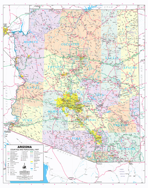
2008 Arizona County and Roads
Wall Map
In Stock
by Wide World of Maps
This detailed and up-to-date laminated State of Arizona wall map defines counties with pastel coloring.
This map includes:
- Cities and towns with relevant population information
- Interstate, state, and tribal highway systems
- Rivers, streams, lakes, and mountain ranges
- Tribal lands, military reservations, and monuments
- Wilderness areas, wildlife refuges, National Parks, and forests.
The Wall Map of 2008 Arizona County and Roads is printed on 24lb. premium coated bond paper. It is also laminated on both sides using 3mm hot lamination, which protects your wall map and allows you to write on it with dry-erase markers.
Item Code: 78087
Your Selection:
Size:
36 x 45"
Unit Price:
$78
Finishing Option:
Laminated
In Stock
Your Options
Available Map Sizes
Delivered as FAST as Next Day!


Available Finishing Options

36 x 45"
48 x 60"
60 x 75"
72 x 90"
90 x 113"
108 x 135"
Laminated Map
Selected
Select
Select
Select
Select
Select
...with Wooden Rails
Select
Select
Select
Select
Select
Select
...Mounted Maps
Select
Select
Select
Select

...Magnetic Maps
Select
Select
Select
Select
Looking for other Finishing Options?
ReStickersBasic FramedExec. FramedPlastic RailsSynthetic Maps
Other Wall Map Finishing Options
ReStickers
Select
Select
Select
Unfinished
...Basic Framed
Select
Select
Select
Select
Dark Oak
...Executive Framed
Select
Select
Select
Select
...Plastic Rails
Select
Select
Select
Select
Select
Archival Paper
Select
Select
Select
Synthetic Maps
Select
Select
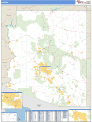
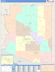
You might also like these State Wall Maps:
X
Item Successfully Added to Your Cart
2008 Arizona County and Roads
Wall Map $85.00
Wall Map $85.00
Wide World of Maps
Qty: 1