State Wall Maps
Choose from the largest selection
of quality State Wall Maps.
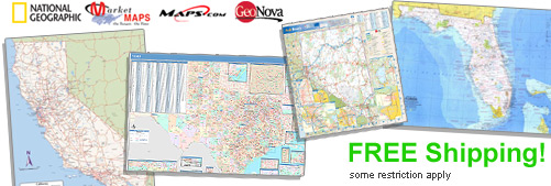
The State Wall Maps selected by MapSales.com represent the
finest State Wall Maps from our leading publishers.
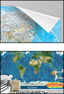
They are beautiful displays for your office, conference room and class room. State Wall Maps are
perfect in your home as well. Each State Wall Map is full of information and
looks great in almost any room!
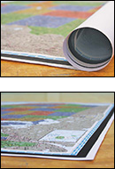
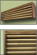
Finishing Options:
We Have Wall Maps From 36x48 inches to 9x12 feet...and Larger!


Shop for Your State Wall Maps...
Order Online or Call Us Now!


State Wall Maps - Select A State:
Select one from the drop down menu - OR - Click on your state.

About Our State Wall Maps for Sale
mapsales.com offers state wall maps of all 50 states in the USA. Choose any state and get the detailed information you need. These high quality wall maps display a variety of information about each state, including: boundaries, cities, capitals, major highways, zip codes, airports, rivers, lakes, and terrain. From Alaska to Florida, and Hawaii to Maine, explore the diverse geography that makes up the United States of America.
Shop physical, political, satellite, illustrated and antique state maps in a variety of styles and colors. Thematic state maps present the information you need such as county boundaries, topography and roads, presenting a unique view of each state. Our range of state wall maps are curated from leading publishers, including National Geographic, Rand McNally, MarketMAPS, CompArt Maps and GeoNova.
Our customers use laminated state maps for reference and to mark important locations and boundaries directly on their state maps. You can write on your laminated map with dry erase markers, then erase and write again. Erasable maps are great for educational activities and business planning. Dry erase markers make it easy to highlight cities, highways and other important locations. Large enough for any wall, laminated state maps look professional and attractive. You can add wooden rails, an executive frame or upgrade to a magnetic wall map to meet your professional needs.
Choose the size of your state wall maps: from 3x4 to 9x12 feet and larger. Get started by selecting your state from the USA map or Call Us Today! Our map experts will help you find the exact map you need.