Zoom
 Pan
Pan
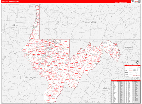
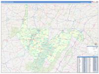
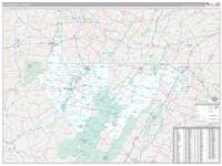
West Virginia Eastern Wall Map
In Stock
by MarketMAPS
The Redline Style Eastern West Virginia Wall Map is an easy to read display with basic map detail. It is an excellent choice for applications that include drawing locations, territories, and other information on your map. The Redline Style Wall Map of Eastern West Virginia with highway detail also features a clean white background that is essential for planning.
This West Virginia Eastern wall map is laminated on both sides using 3mm hot lamination, which protects your map and allows you to write on it with dry-erase markers.
Your Selection:
Size:
36 x 48"
Unit Price:
$125
Finishing Option:
Laminated
In Stock
Your Options
Available Map Sizes
Delivered as FAST as Next Day!


Available Finishing Options

36 x 48"
48 x 64"
60 x 80"
72 x 96"
90 x 120"
108 x 144"
Laminated Map
Selected
Select
Select
Select
Select
Select
...with Wooden Rails
Select
Select
Select
Select
Select
Select
...Mounted Maps
Select
Select
Select
Select

...Magnetic Maps
Select
Select
Select
Select
Looking for other Finishing Options?
ReStickersBasic FramedExec. FramedPlastic RailsSynthetic Maps
Other Wall Map Finishing Options
ReStickers
Select
Select
Select
Unfinished
...Basic Framed
Select
Select
Select
Select
Dark Oak
...Executive Framed
Select
Select
Select
Select
...Plastic Rails
Select
Select
Select
Select
Select
Paper Maps
Select
Select
Select
Synthetic Maps
Select
Select
X
Item Successfully Added to Your Cart
West Virginia Eastern
Wall Map $85.00
Wall Map $85.00
Red Line Style 2026
MarketMAPS
Qty: 1