Zoom
 Pan
Pan
Tyler
Metro Area, TX Zip Code Wall Map
In Stock
by MarketMAPS

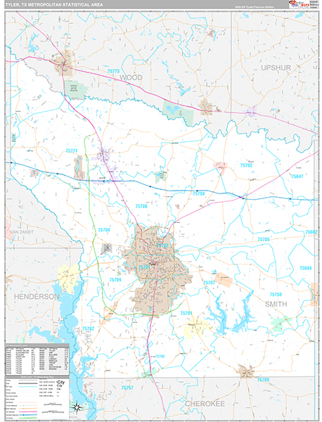
Zip Code Tyler Wall Maps in the Premium Style contain an extensive amount of detail about the Metro Area. Zip Code information about Tyler is conveniently displayed for easy reference and business use.
Customers prefer the Zip Code Premium Style so they can:
- - Visualize Tyler, TX Zip Code numbers, indexes and coverage with ease.
- - Reference city streets, highways, and other locations in a convenient and precise manner.
- - Utilize unique and attractive displays for homes, offices and conference rooms.
- - Write on the laminated Tyler Wall Map using dry erase markers.
Your Selection:
Size:
36 x 48"
Unit Price:
$125
Finishing Option:
Laminated
In Stock
Your Options
Available Map Sizes
Delivered as FAST as Next Day!


Available Finishing Options

36 x 48"
48 x 64"
60 x 80"
72 x 96"
90 x 120"
108 x 144"
Laminated Map
Selected
Select
Select
Select
Select
Select
...with Wooden Rails
Select
Select
Select
Select
Select
Select
...Mounted Maps
Select
Select
Select
Select

...Magnetic Maps
Select
Select
Select
Select
Looking for other Finishing Options?
ReStickersBasic FramedExec. FramedPlastic RailsSynthetic Maps
Other Wall Map Finishing Options
ReStickers
Select
Select
Select
Unfinished
...Basic Framed
Select
Select
Select
Select
Dark Oak
...Executive Framed
Select
Select
Select
Select
...Plastic Rails
Select
Select
Select
Select
Select
Paper Maps
Select
Select
Select
Synthetic Maps
Select
Select


X
Item Successfully Added to Your Cart
Tyler Metro Area Zip Code
Wall Map $85.00
Wall Map $85.00
Premium Style 2026
MarketMAPS
Qty: 1