Springdale Zip Code Wall Map
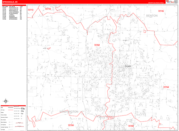
The Redline Style Springdale Wall Map is an easy to read display with basic map detail. It is an excellent choice for applications that include drawing locations, territories, and other information on your map. The Redline Style Wall Map of Springdale features streets and highways with maximum streets based upon map size, as well as a clean white background that is essential for planning.
This Springdale, Arkansas wall map is laminated on both sides using 3mm hot lamination, which protects your map and allows you to write on it with dry-erase markers.
Wall Map
Map Sizes (inches)


Finishing Options

add to cart
add to cart
add to cart
add to cart
add to cart
add to cart
add to cart
add to cart
add to cart
add to cart
add to cart
add to cart
add to cart
add to cart
add to cart
add to cart

add to cart
add to cart
add to cart
add to cart
add to cart
add to cart
add to cart
add to cart
add to cart
add to cart
add to cart
add to cart
add to cart
add to cart
add to cart
add to cart
add to cart
add to cart
add to cart
add to cart
add to cart
add to cart
add to cart
add to cart
add to cart


Red Line Style 2026
MarketMAPS
Qty: 1