;)
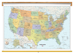
Political US Map
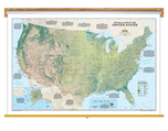
Classroom Pull Down
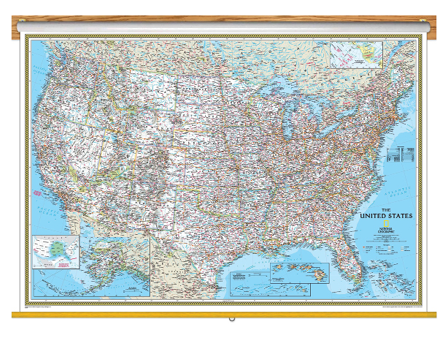
Mapsales.com has United States political maps that are ideal for education. This Political US Classroom Pull Down Map uses bright color bands to outline each state. Capitals, major cities, selected towns, bodies of water, highways, and national parks are all shown. Shaded relief, rich in detail, emphasizes the many mountains, valleys, and plateaus of the United States.
Order your school United States political maps today and receive free shipping, with fast delivery!
The Wall Map of US Political Classroom Pull Down is printed on 24lb. premium coated bond paper. It is also laminated on both sides using 3mm hot lamination, which protects your classroom wall map and allows you to write on it with dry-erase markers. This laminated educational Pull Down Map is mounted to a secure Spring Roller ready to hang on any classroom wall.
Are Updated Yearly!
Delivered as FAST as Next Day.
GUARANTEED
1-888-434-6277
Classroom Pull Down
$350
National Geographic
Qty: 1