;)
Physical 7 Continent Maps
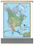
Classroom Pull Down
7 Map Bundle
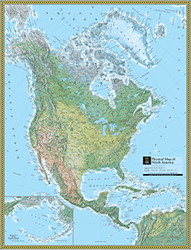
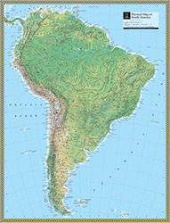
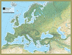
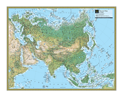
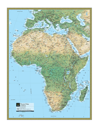
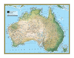
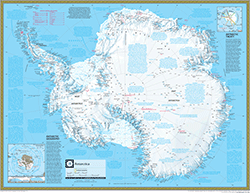
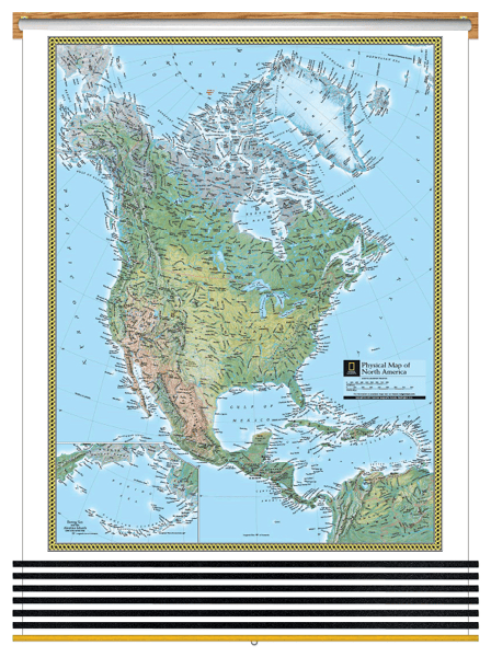
The Physical 7 Continent Maps Classroom Pull Down Bundle is a quality addition to any classroom. Each Physical Continent Map includes country boundaries, place names, and bodies of water. The Physical Antarctica Map includes information on the minerals and climate, as well as historical facts about the continent. Insets of the Bedrock Surface and of the Antarctic Treaty.
All seven the National Geographic Physical Continents Maps are printed on 24lb. premium coated bond paper. They are also laminated on both sides using 3mm hot lamination, which protects your wall maps and allows you to write on them with dry-erase markers.
These laminated educational Pull Down maps are mounted to secure Spring Rollers ready to hang on any classroom wall.
Are Updated Yearly!
Delivered as FAST as Next Day.
GUARANTEED
1-888-434-6277
Classroom Pull Down
7 Map Bundle $815
National Geographic
Qty: 1