;)
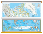
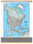
Canada and World Maps
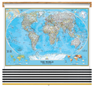
Classroom Pull Down
2 Map Bundle
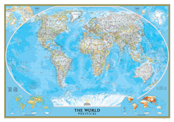
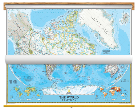
Educational and aesthetic, brighten up any classroom with this National Geographic Canada and World Map Classroom Pull Down Bundle. The World Political Map uses the Winkel Tripel projection to reduce distortion of land masses as they near the poles. Features include subtle border coloring on land, and prevailing winds and ocean currents at sea. Separate insets show the North and South Polar Regions, world vegetation and land use, and world population density.
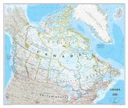
The Canada Wall Map is highly detailed featuring:
- Political boundaries
- Cities and towns
- Highways and major roads
- Passenger railroads and airports
- Physical details, such as mountain ranges, lakes, swamps, and glaciers
Both the National Geographic Canada & World Map are printed on 24lb. premium coated bond paper. They are also laminated on both sides using 3mm hot lamination, which protects your wall maps and allows you to write on them with dry-erase markers.
These laminated educational Pull Down maps are mounted to secure Spring Rollers ready to hang on any classroom wall.
Are Updated Yearly!
Delivered as FAST as Next Day.
GUARANTEED
1-888-434-6277
Classroom Pull Down
2 Map Bundle $315
National Geographic
Qty: 1