Zoom
 Pan
Pan
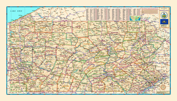
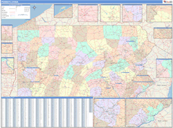
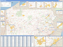
Pennsylvania Counties Wall Map
In Stock
by Compart Maps
The Wall Map of Pennsylvania Counties is printed on 24lb. premium coated bond paper. It is also laminated on both sides using 3mm hot lamination, which protects your wall map and allows you to write on it with dry-erase markers.
Item Code: Pennsylvania Counties
Your Selection:
Size:
28 x 48"
Unit Price:
$68
Finishing Option:
Laminated
In Stock
Your Options
Available Map Sizes
Delivered as FAST as Next Day!


Available Finishing Options

28 x 48"
37 x 64"
47 x 80"
56 x 96"
70 x 120"
83 x 144"
Laminated Map
Selected
Select
Select
Select
Select
Select
...with Wooden Rails
Select
Select
Select
Select
Select
Select
...Mounted Maps
Select
Select
Select
Select

...Magnetic Maps
Select
Select
Select
Select
Looking for other Finishing Options?
ReStickersBasic FramedExec. FramedPlastic RailsSynthetic Maps
Other Wall Map Finishing Options
ReStickers
Select
Select
Select
Unfinished
...Basic Framed
Select
Select
Select
Select
Dark Oak
...Executive Framed
Select
Select
Select
Select
...Plastic Rails
Select
Select
Select
Select
Select
Archival Paper
Select
Select
Select
Select
Synthetic Maps
Select
Select
You might also like these State Wall Maps:
X
Item Successfully Added to Your Cart
Pennsylvania Counties
Wall Map $85.00
Wall Map $85.00
Compart Maps
Qty: 1