Parcel Maps of 3,100+ Counties
2026 Edition

at least ONCE a YEAR
as FAST as NEXT DAY
Real People
Contact an Expert! Call Now!
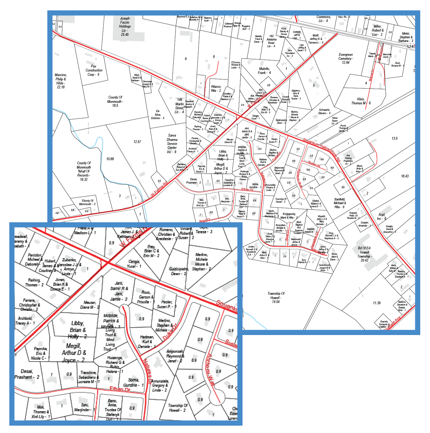
- Boundaries of all Parcels
- All Parcel Boundaries displayed and labeled with acreage where possible
- Land Owner names & acreage displayed for Parcels over 1 acre
- Building Footprints
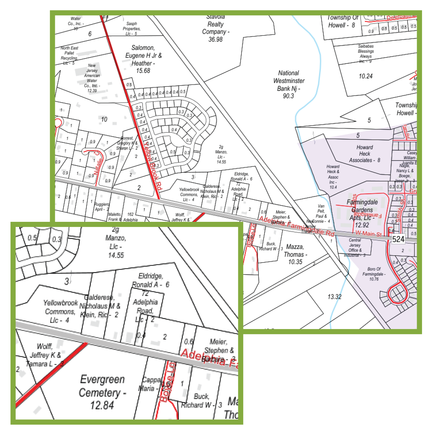
- Boundaries of all Parcels
- All Parcel Boundaries displayed and labeled with acreage where possible
- Land Owner names & acreage displayed for Parcels over 2 acres
- Building Footprints
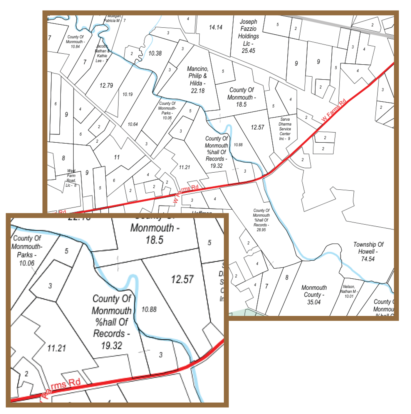
- Parcel Boundaries displayed over 2 acres labeled with acreage
- Land Owner names & acreage displayed with Parcels over 6 acres

2026 Parcel Map Books
Starting at $69
mapsales provides comprehensive Parcel Data coverage for the entire United States, offering detailed Parcel Map Books for all 3,100+ counties nationwide.
Each map can include 100 data attributes, delivering valuable insights to support analysis, planning, and visualization.
Example of Parcel Attributes Available include Owner Names, Acreage and more.
2026 Parcel Wall Maps
Starting at $115
In addition, mapsales offers Parcel Wall Maps designed for in-office, large-scale planning, analysis, and development.
Select from a wide range of styles, sizes, and professional finishing options to create the exact Parcel Wall Map for your needs. Available sizes range from 3 × 4 feet up to 9 × 12 feet and larger, providing clear, highly detailed Parcel visualization for any workspace.
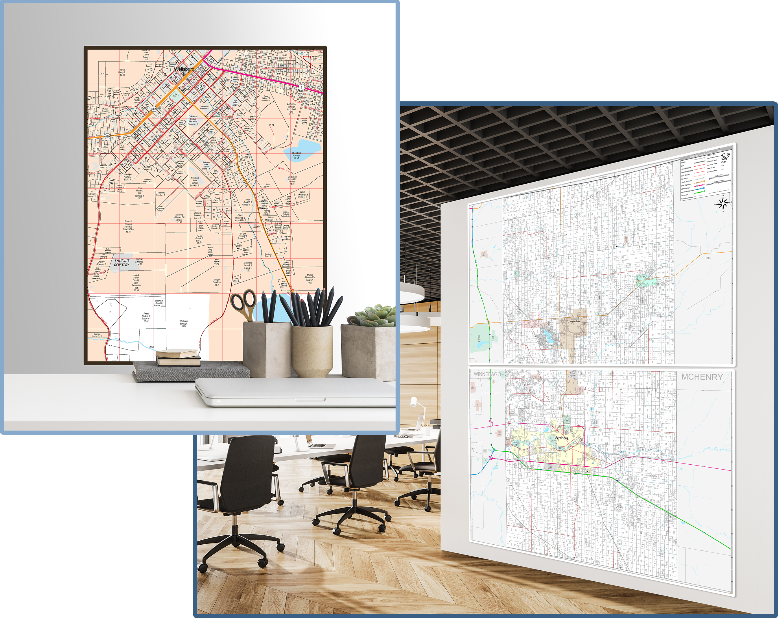
Sizes from 36 x 48 inches to 108 x 144 inches & larger!
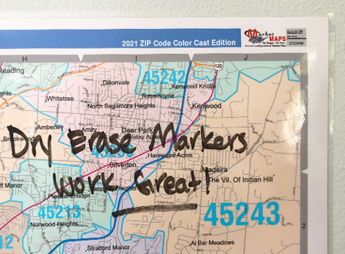 Laminated
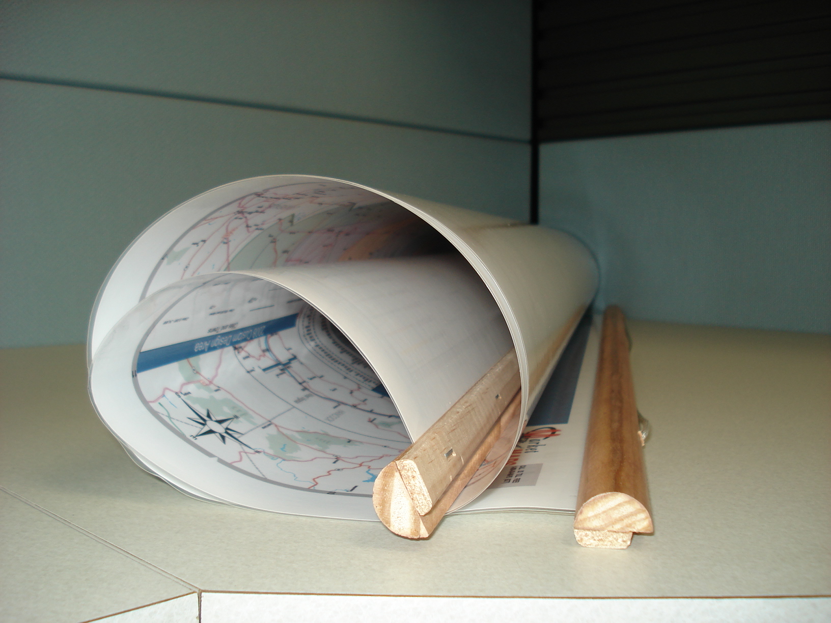 Rails
Rails
 Mounts
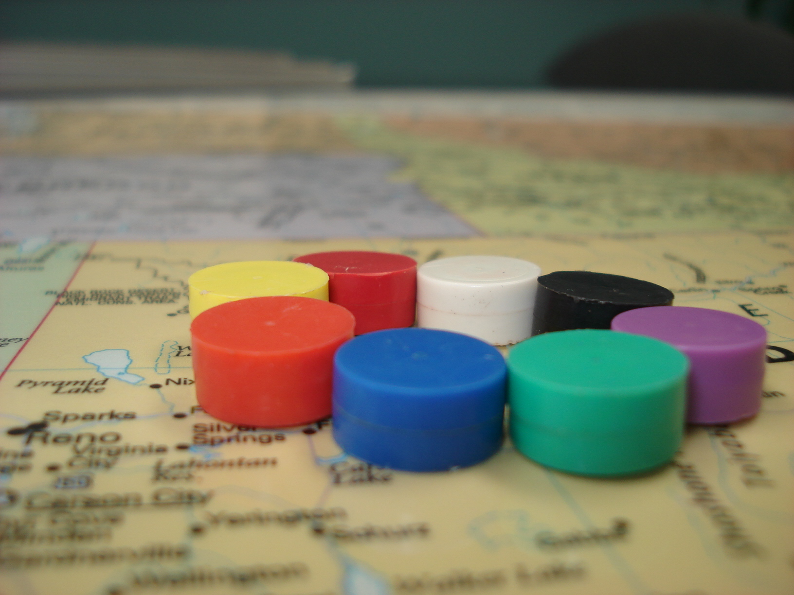 Magnetic
Why mapsales for Parcel Maps?
mapsales provides Parcel Data covering the entire United States, delivering one of the most comprehensive and detailed parcel mapping solutions available. Our coverage includes all counties, cities, townships, and school districts nationwide—ensuring complete geographic detail for any application.
mapsales delivers more granular and robust data at 6-acre, 2-acre and 1-acre detail levels for enhanced accuracy. We also offer a large variety of map finishing options beyond basic lamination, providing more versatile solutions tailored to your specific needs.
Our Parcel Data is updated at least once per year, providing consistently current information you can trust.
Contact an Expert! Call Now!
- Trusted source for 40+ years.
- Providing location-based information services for organizations nationally and globally, including nearly 100% of the Fortune 500.
- Free shipping, delivering the maps when you need them.
- Maps of every County, State, City, Metro Area / Town, School District & more.
- Custom Maps tailored to your needs.
