Wall Maps
for Franchise
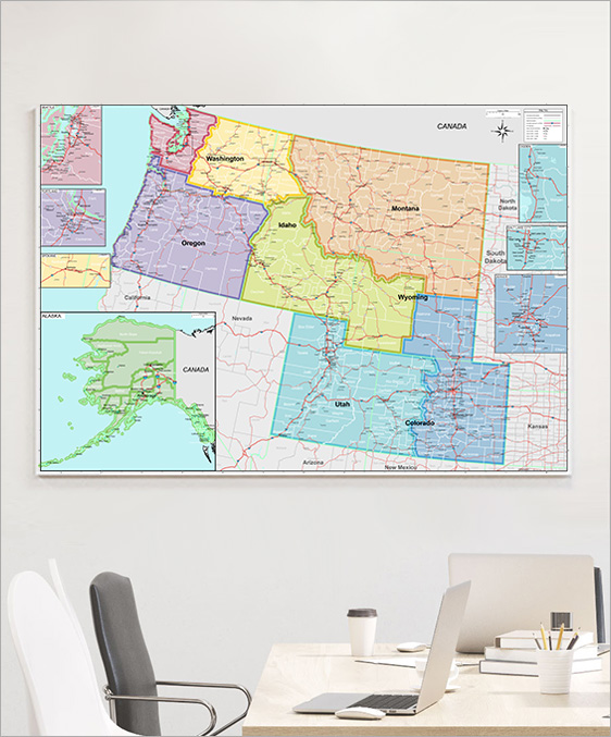
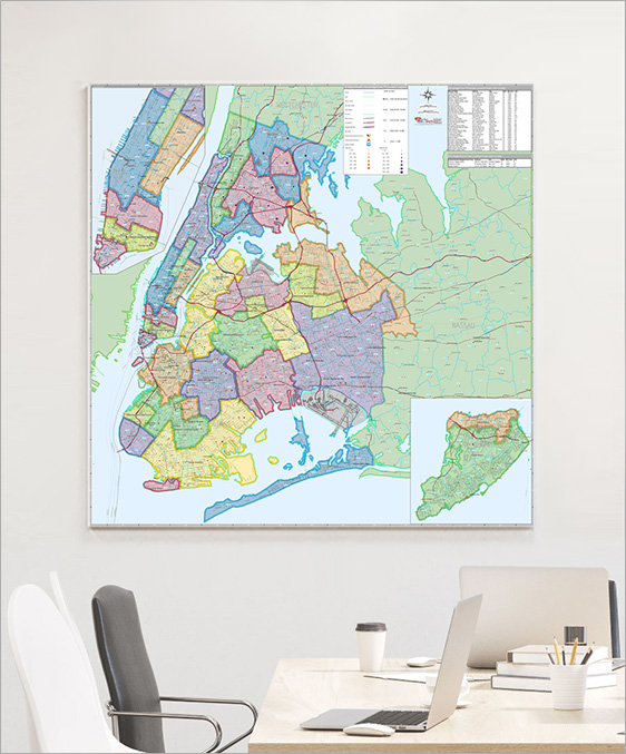
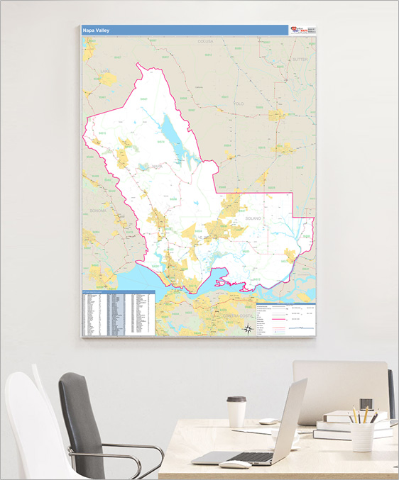
Franchisees rely on our custom wall maps to help them map out their territory boundaries, analyze the areas around their sites, and enhance their marketing efforts.
Features Commonly Used
on Franchise Wall Maps
on Franchise Wall Maps
Street Level Detail
Radius Rings
Drive Time Polygons
Laminated
Highways
All Streets
Waterways
Up-to-Date and Accurate Levels of GeographyAll Streets
Waterways
Custom Territory Boundaries
Carrier Route Boundaries
ZIP Code Boundaries
County Boundaries
State Boundaries
DemographicsCarrier Route Boundaries
ZIP Code Boundaries
County Boundaries
State Boundaries
Population, Age, Gender, Income, etc.
Thematic Shading and Counts
Consumer Mailing ListsThematic Shading and Counts
Radius Rings
Drive Time Polygons
Laminated
Draw, write and erase directly on maps
Formats

Wall Maps
2x3 to 9x12 feet and larger
Laminated, Framed, Magnetic and more
Custom sizing available
Printed MapsLaminated, Framed, Magnetic and more
Custom sizing available
8.5x11 to 17x22 inches
Custom sizing available
Custom sizing available
Regional Territory Wall Map