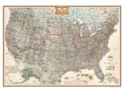
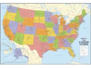
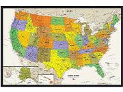
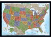
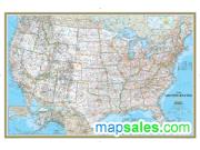
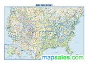
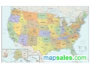
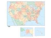
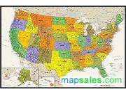
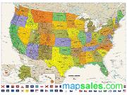
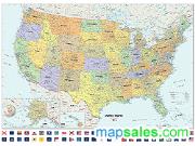
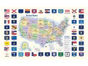
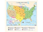
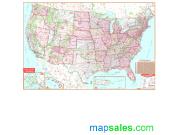
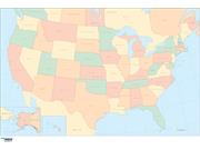
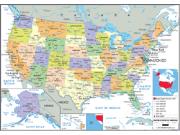
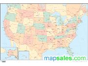
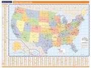
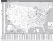
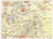
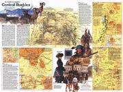
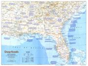
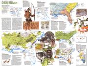
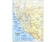
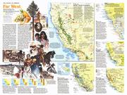
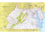
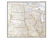
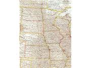
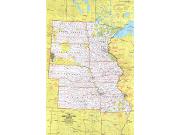
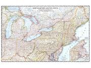
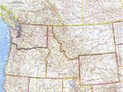
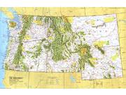
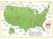
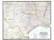
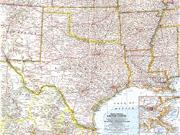
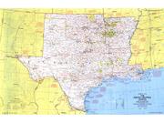
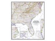
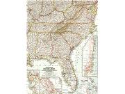
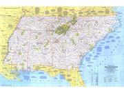
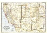
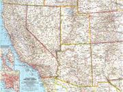
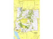
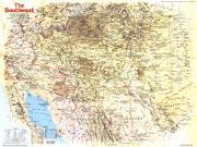
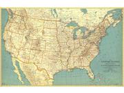
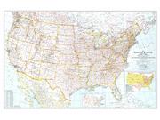
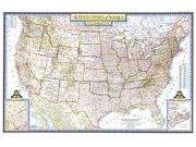
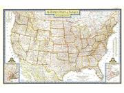
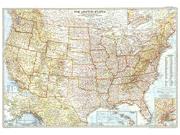
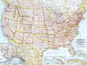
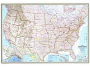
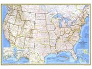
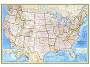
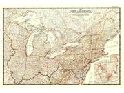
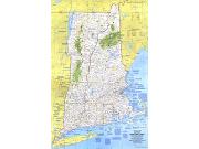
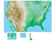
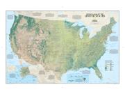
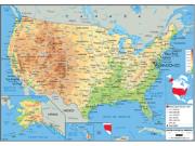
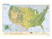
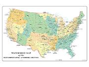
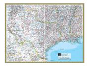
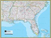
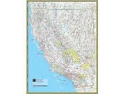
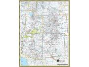
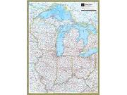
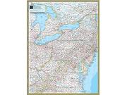
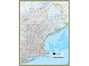
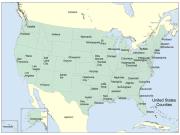
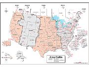
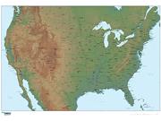
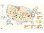
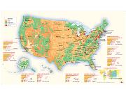
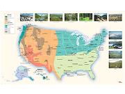
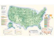
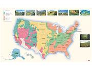
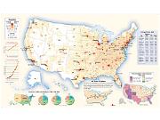
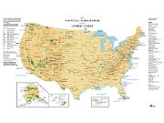
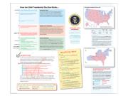
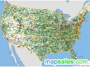
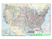
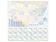
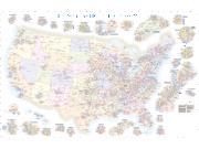
The US Wall Maps selected by MapSales.com represent the finest
US Wall Maps from our leading publishers.
They are beautiful displays for your office, conference room and
class room. US Wall Maps are perfect in your home as well. Each
US Wall Map is full of information and looks great in almost
any room!


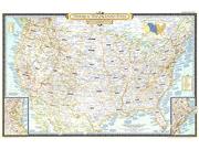
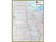
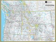
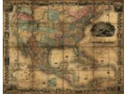
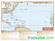
 We
Offer Maps From 3x4 feet...
We
Offer Maps From 3x4 feet...