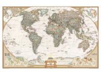
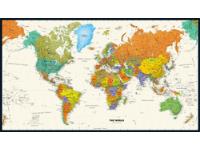
World Topography and Bathymetry Wall Map - Pacific Rim
by Newport Geographic
|

|
The Pacific Rim view of the whole world with it's central meridian 150° east of Greenwich. It shows both land cover and bathymetry in brilliant color and in unparalleled detail and also includes international borders.
This map is the most accurate and up to date such map available today. The land imagery is based on data collected by NASA's MODIS satellite instrumentation in August 2004. Ocean bathymetry is derived from the RAMP II dataset (Radarsat Antarctic Mapping Project Digital Elevation Model), Version 2, 2001 and GEBCO (General Bathymetric Chart of the Oceans), 2003. Polar sea ice is based on a combination of sources including MODIS data and observations of Antarctica made by the National Oceanic and Atmospheric Administration's AVHRR sensor (Advanced Very High Resolution Radiometer).
There is so much detail in this map that it can support a print size of 12ft x 24ft in full high resolution. Tens of thousands of the earth's physical features can be clearly ide
This map is printed on 24lb. premium coated bond paper. It is also laminated on
both sides using 3mm hot lamination, which protects your map and allows you to
write on it with dry-erase markers.
Item Code: 4101-2_03P
|


;)