 |
wall maps |
Over 223,861 wall maps... ...delivered as FAST as Next Day! |
1-888-434-6277 Contact Us here. |


|
||||||||||||||||||||||||||||||||||||||||||||||||||||||||||||||||||
| ||||||||||||||||||||||||||||||||||||||||||||||||||||||||||||||||||
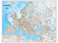
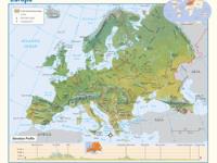
You might also like these Europe Wall Maps:
|
||||||||||||||||||||||||||||||||||||||||||||||||||||||||||||||||||
;)


|
Return Policy |
Legal Notice |
About Us
About Our Clients | Contact Us | Site Index | Help |

Company Headquarters: 10 First Street Wellsboro, PA 16901
West Coast: 18005 Sky Park Circle, Suite 54 J, Irvine, CA 92614 |
©Copyright Intelligent Direct, Inc. |
|