Zoom
 Pan
Pan
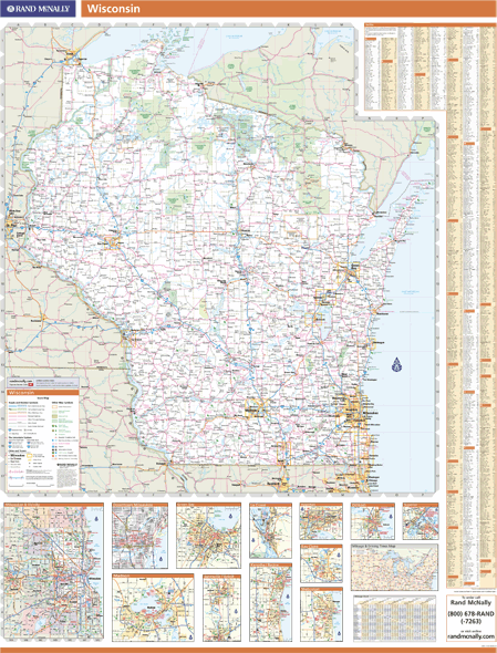
Wisconsin Wall Map
In Stock
by Rand McNally
Our Rand McNally wall maps are designed for business and referential use, and offer high-quality cartography.
This map includes
- Major roads and highways
- County boundaries
- Cities and towns
- Major waterways
- Major landmarks
- Points of interest (including rest stops, universities, and airports)
The Wall Map of Wisconsin is printed on 24lb. premium coated bond paper. It is also laminated on both sides using 3mm hot lamination, which protects your wall map and allows you to write on it with dry-erase markers.
Item Code: WI-WM-2005_NV
Your Selection:
Size:
48 x 63"
Unit Price:
$183
Finishing Option:
Laminated
In Stock
Your Options
Available Map Sizes
Delivered as FAST as Next Day!


Available Finishing Options
48 x 63"
60 x 79"
72 x 94"
90 x 118"
109 x 141"
Laminated Map
Selected
Select
Select
Select
Select
...with Wooden Rails
Select
Select
Select
Select
Select
...Mounted Maps
Select
Select
Select

...Magnetic Maps
Select
Select
Select
Looking for other Finishing Options?
ReStickersBasic FramedExec. FramedPlastic RailsSynthetic Maps
Other Wall Map Finishing Options
ReStickers
Select
Select
Unfinished
...Basic Framed
Select
Select
Select
Dark Oak
...Executive Framed
Select
Select
Select
...Plastic Rails
Select
Select
Select
Select
Archival Paper
Select
Select
Synthetic Maps
Select
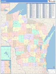
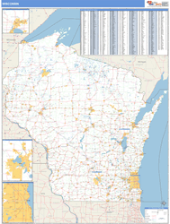
You might also like these State Wall Maps:
X
Item Successfully Added to Your Cart
Wisconsin Wall Map
$85.00
Rand McNally
Qty: 1