Zoom
 Pan
Pan
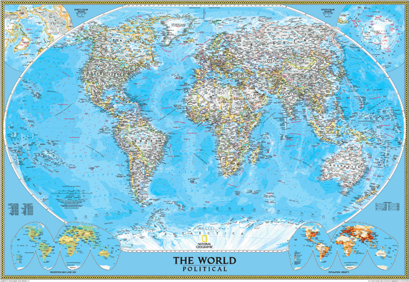
World Political Wall Map
In Stock
by National Geographic
Enjoy the accuracy and beauty of the latest world map from the cartographers at National Geographic. This map features the Winkel Tripel projection to reduce distortion of land masses as they near the poles. Features include subtle border coloring on land, and prevailing winds and ocean currents at sea. Separate insets show the North and South Polar Regions, world vegetation and land use, and world population density. ©2002.
The Wall Map of World Political is printed on 24lb. premium coated bond paper. It is also laminated on both sides using 3mm hot lamination, which protects your wall map and allows you to write on it with dry-erase markers.
Item Code: World_Classic_Std_POD
Your Selection:
Size:
33 x 48"
Unit Price:
$78
Finishing Option:
Laminated
In Stock
Your Options
Available Map Sizes
Delivered as FAST as Next Day!


Available Finishing Options

33 x 48"
44 x 64"
55 x 80"
66 x 96"
82 x 120"
99 x 144"
Laminated Map
Selected
Select
Select
Select
Select
Select
...with Wooden Rails
Select
Select
Select
Select
Select
Select
...Mounted Maps
Select
Select
Select
Select

...Magnetic Maps
Select
Select
Select
Select
Looking for other Finishing Options?
ReStickersBasic FramedExec. FramedPlastic RailsSynthetic Maps
Other Wall Map Finishing Options
ReStickers
Select
Select
Select
Unfinished
...Basic Framed
Select
Select
Select
Select
Dark Oak
...Executive Framed
Select
Select
Select
Select
...Plastic Rails
Select
Select
Select
Select
Select
Archival Paper
Select
Select
Select
Synthetic Maps
Select
Select
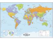
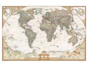
You might also like these World Wall Maps:
X
Item Successfully Added to Your Cart
World Political Wall Map
$85.00
National Geographic
Qty: 1