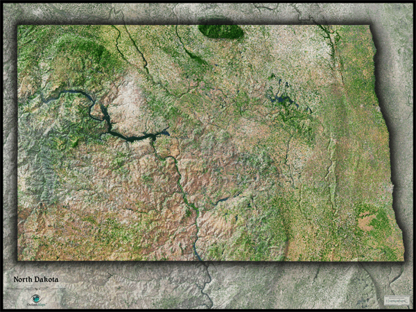
North Dakota Satellite Wall Map
This North Dakota Satellite Map dramatically displays the "Peace Garden State" as seen from outer space. The striking aerial view map was created from spectral data (satellite image data) obtained from NASA's Landsat satellites which was then combined with 3-D shading to provide a natural looking satellite map that has three-dimensional depth which helps to distinguish terrain much more than the "flat" satellite maps you've seen. This vivid North Dakota satellite map really displays the state's natural beauty. The great plains appear vast and colorful in the map. It's also easy to see contrasting regions throughout the state, from the flat farmland in the east to the rugged and rocky terrain in the west, while the Missouri River cuts through the middle. This splendid North Dakota Satellite Map is incredibly detailed too: each pixel of resolution in the map equates to 141 ft (43 meters)! This super high level of resolution allows urban cities, small towns, crop fields, rivers, major roads, ponds, airports, and even large parks within cities to show up clearly. Detail is more visible on large sized maps, so we recommend ordering the largest map that will fit on your wall. Labels were intentionally omitted to create a pure, uncluttered look. This spectacular satellite image will definitely provide hours of enjoyment as you explore all the natural and man-made wonder visible in this North Dakota satellite map. "This North Dakota Satellite Wall Map features the following:
- High resolution satellite imagery: 1 printed pixel represents just 141 ft (43 m)
- Sleek shading of North Dakota's state outline
- Three dimensional shaded relief
- Legend with map scale bar
- Clear visibility of cities, roads, rivers, parks, fields of agriculture, and more
The Wall Map of North Dakota Satellite is printed on 24lb. premium coated bond paper. It is also laminated on both sides using 3mm hot lamination, which protects your wall map and allows you to write on it with dry-erase markers.


Wall Map $85.00
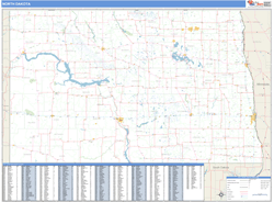
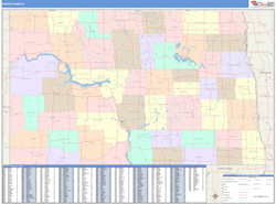
Outlook Maps
Qty: 1